The 1909 map is, in my humble opinion, the Greatest Map of L.A. Ever! This is the image that I referred to in this older post that first put the hooks in me with regard to historical Los Angeles. I've practically memorized this map, I've looked at it so many times.
Viewing tip: when you click on the thumbnail image and go to the Library of Congress page, don't bother with the complicated inline viewer, just go to the lower left of each page where it says "Download JPEG2000 image," snag that file, then view it directly in your computer's default picture-viewing program.
1909:

Click image for source at the Library Of Congress.
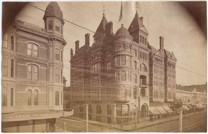
1894:

Click image for source at the Library Of Congress.
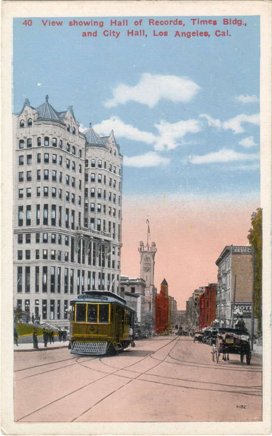
This one is notable for the detail of the landmark buildings depicted on its margins.
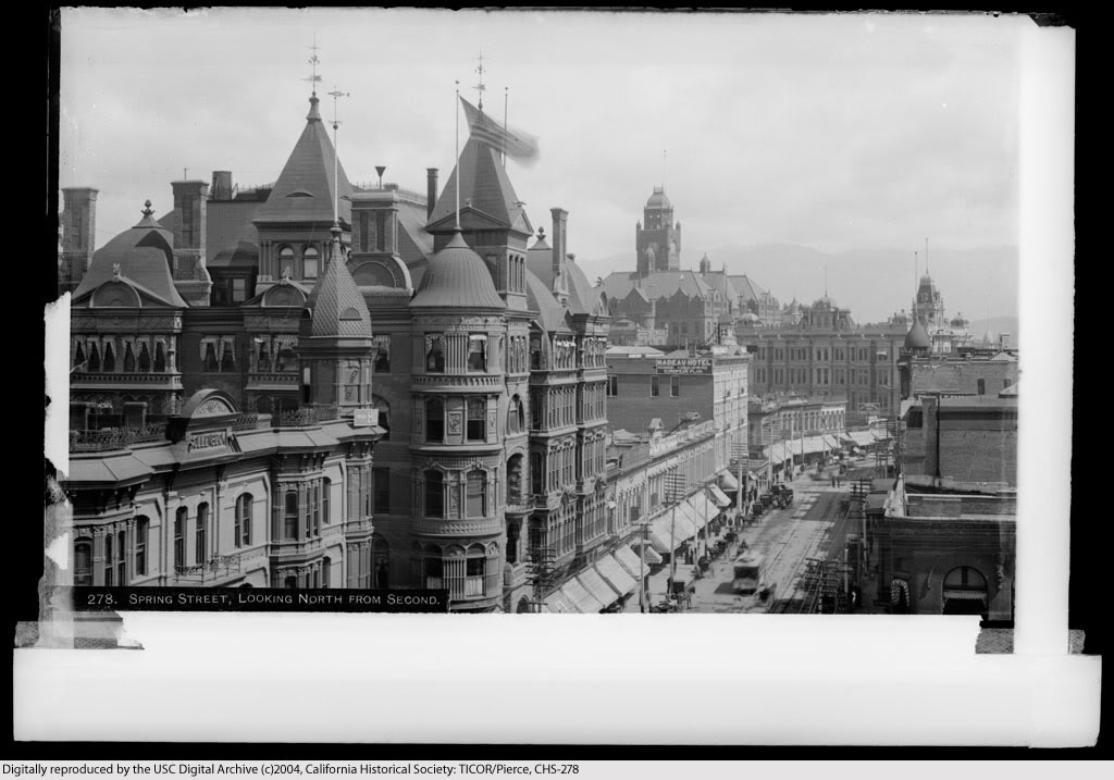
1891:

Click image for source at the Library Of Congress.
This is the earliest birds-eye map of Los Angeles in the online LOC database. Note the covered bridge over the Los Angeles River at Macy Street...
1874:
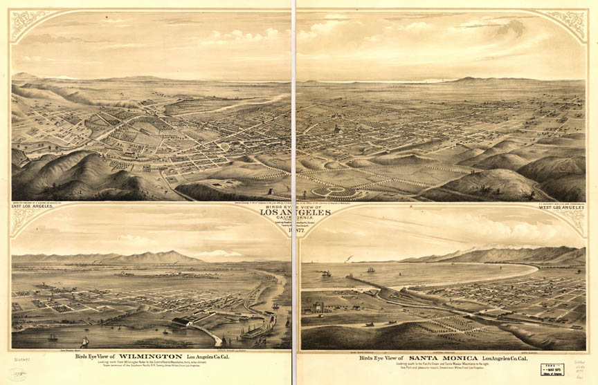
Click image for source at the Library Of Congress.